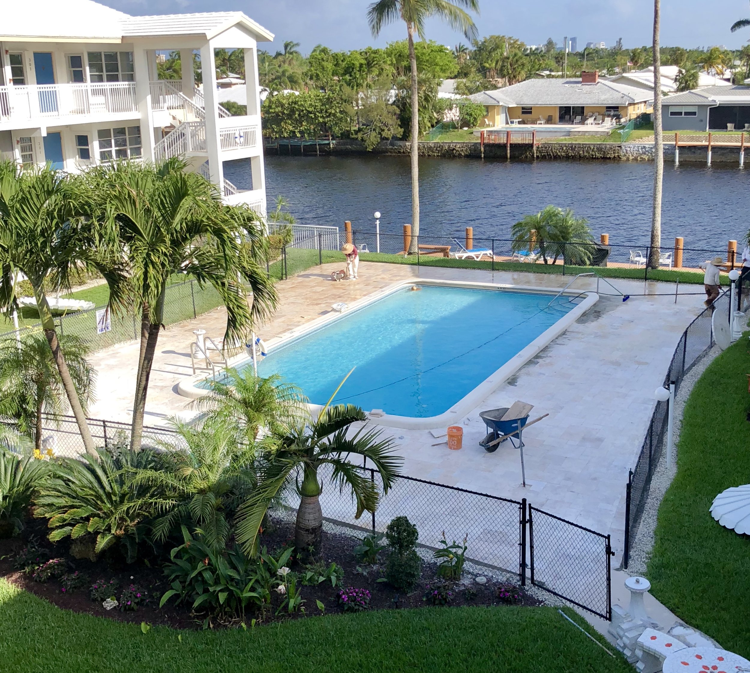
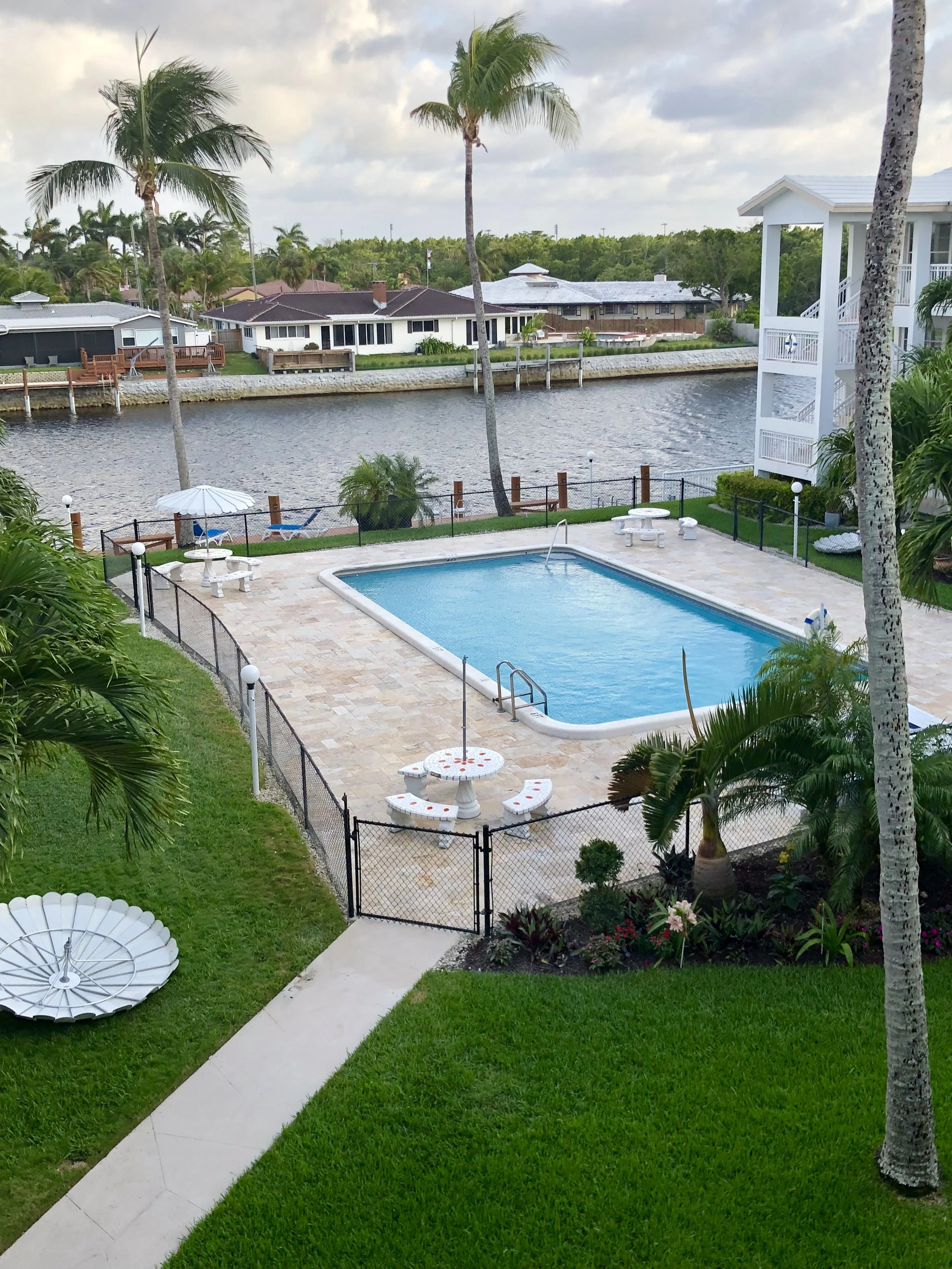
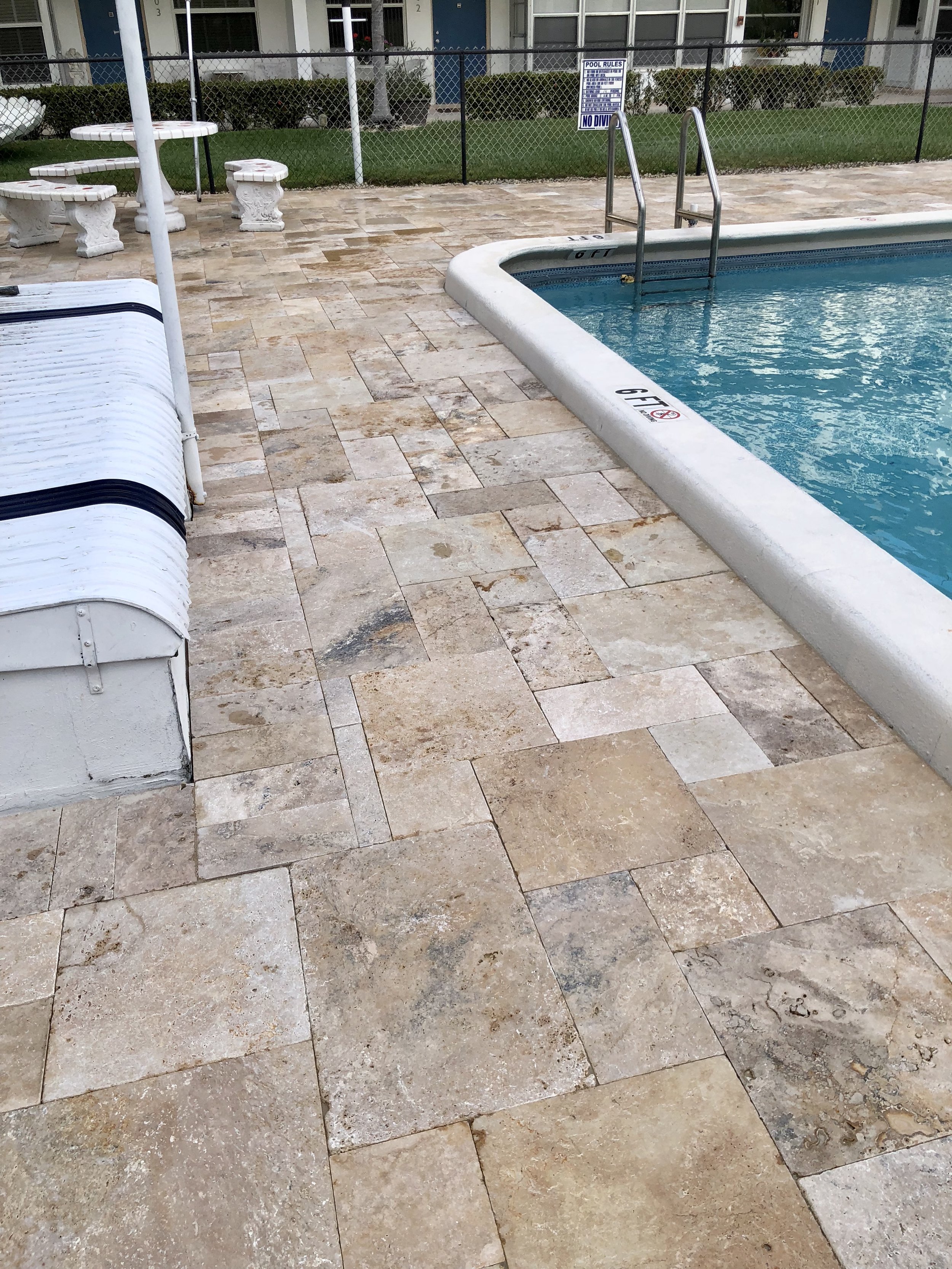
Day 4 - Pool Upgrade
/



It’s that time of the year to get the I-95 grime and dirt off our roof......WSE annual roof maintenance cleaning has begun.

The west side roof is looking much cleaner already.
The WSE sign and tree lights have been upgraded to LED lighting.

WSE entrance

courtyard LED tree lights.

Please remove all plants & patio furniture in order to give the cleaners full access to the area for cleaning.
Your cooperation with this is much appreciated.
Wilton Shores East board of Directors
The boatdock has been painted/sealed and new solar powered motion detector lights have been installed. Looking good .....


Please be advised that the walkway located on the southwest side of the building will be closed for repair on Monday morning November 27, 2018. Please use an alternate route during that time.
Thank you for your cooperation.
Thursday Nov 30, 2017.
NOTICE
The walkways are scheduled to be pressure washed on Nov 30, 2017. (Weather permitting).
Please remove all plants & patio furniture in order to give the cleaners full access to the area for cleaning.
Your cooperation with this is much appreciated.
Wilton Shores East board of Directors
Holiday season begins at WSE.....let the festivities begin🎵🎵


The building has now been fitted with more energy efficient commercial lights to maximize the lighting around the perimeter of the building at night.


NOTICE OF BUDGET MEETING & REGULAR BOARD MEETING
A beautiful fall day here at Wilton Shores East.


A REMINDER TO ALWAYS BAG YOUR GARBAGE PRIOR TO THROWING IT IN THE GARBAGE ROOM.
OPEN CONTAINERS & BAGS ARE BEING THROWN INTO THE GARBAGE ROOM WHICH IS WHAT IS CAUSING THE SMELL. THESE OPEN CONTAINER/ BAGS WILL ALSO ATTRACT RODENTS & OTHER NUISANCES.
PLEASE RESPECT YOUR FELLOW NEIGHBOR BY DISCARDING YOUR TRASH CORRECTLY.
THANK YOU FOR YOUR COOPERATION.
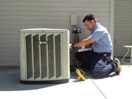
A/C PUMP MAINTENANCE
On Saturday September 23rd, 2017 the filters on the A/C pumps will be cleaned. You will need to turn OFF your a/c units between the times of 10AM - 10:30AM.
Thankyouforyourcooperation,
Wilton Shores East board of Directors
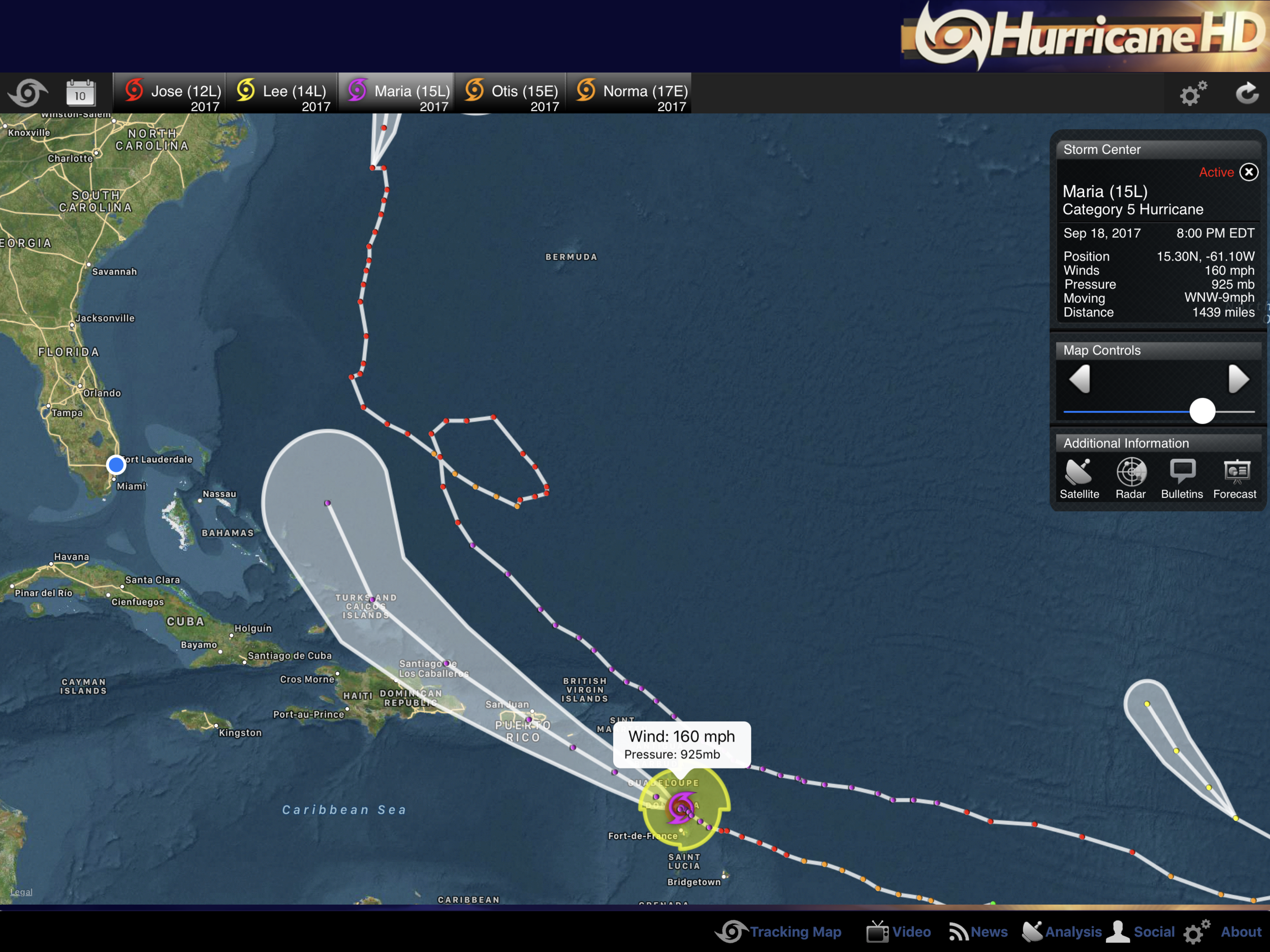
Hurricane Maria Special Discussion Number 11
NWS National Hurricane Center Miami FL AL152017
800 PM AST Mon Sep 18 2017
This special advisory is being issued to increase the initial and
forecast intensity of Maria.
Recent reports from an Air Force Reserve Hurricane Hunter aircraft
indicate that Maria continues to rapidly strengthen. The aircraft
measured SFMR winds of 139 kt in the northwest eyewall and an
estimated minimum pressure of 925 mb, based on dropsonde data.
Based on these observations, the initial intensity of Maria has
been increased to 140 kt, making Maria a potentially catastrophic
category 5 hurricane on the Saffir-Simpson Hurricane Wind Scale.
Some additional strengthening is possible during the next 24
hours, but fluctuations in intensity are likely due to eyewall
cycles and land interaction.
No change was made to the previous track forecast, and the
extremely dangerous core of Maria is expected to pass over Dominica
within the next hour or two.
KEY MESSAGES:
1. Maria will affect portions of the Leeward Islands and the British
and U.S. Virgin Islands as an extremely dangerous major hurricane
during the next couple of days, and hurricane warnings are in effect
for many of these islands.
2. Maria is likely to affect Puerto Rico as an extremely dangerous
major hurricane, and a hurricane warning has been issued for that
island.
3. The potential for a life-threatening storm surge, accompanied by
large and destructive waves, has increased for the Leeward Islands,
the Virgin Islands, and Puerto Rico.
4. Life-threatening flash floods and mudslides from heavy rainfall
are expected across the Leeward Islands, including Puerto Rico and
the U.S. and British Virgin Islands.


The air conditioning system is back working. It is now safe to turn on your ac units.

A nice new good looking cover for the grill.
